The Point Is Now Protected: What Changed at Topsail Beach’s South End
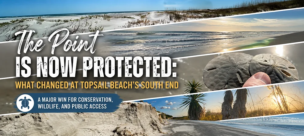

The southern end of Topsail Beach is now under state management, marking a major milestone for one of the most closely watched stretches of undeveloped coastline on Topsail Island.
The N.C. Department of Environmental Quality announced this week that its Division of Coastal Management has assumed management of the Topsail Nature Preserve, the area many locals know as The Point, the South End, or Serenity Point.
The change does not mean the area is suddenly open to the public for the first time. People have long walked, fished, explored, and enjoyed the south end of the island. What changed is more important: a rare, undeveloped barrier-island tract that had been the focus of years of development pressure is now being managed for conservation, public access, and responsible use.
WECT reported that the south end of Topsail Beach is now state-managed land after years of controversy, following the transfer from the N.C. Coastal Land Trust to the state’s Division of Coastal Management.
What this means for Topsail Beach
The Point has not been turned into a private development, resort, or gated residential compound. Instead, the area is being protected as coastal habitat while remaining available for public enjoyment, with more emphasis on stewardship, education, and responsible recreation.
A Quick Timeline of The Point and Serenity Point
| Year / Period | Milestone | Why It Matters |
|---|---|---|
| 1960s | Private ownership begins at the south end | The land that later became known as The Point began as private property near the southern tip of Topsail Island. |
| 1980s-1990s | Serenity Point townhomes are built nearby | The name Serenity Point became closely tied to the south end area, even as the undeveloped beach and inlet land remained distinct. |
| 2005 | Early conservation push gains momentum | Residents and advocates began organizing more visibly when the land’s future became uncertain. |
| 2008 | Sale effort stalls during the recession | The immediate development pressure eased, but long-term conservation interest remained. |
| 2022-2023 | Development proposal revives the debate | A proposal for private residential development brought the issue back into public view and helped galvanize opposition. |
| 2024 | Coastal Land Trust reaches purchase agreement | The conservation path became real when the N.C. Coastal Land Trust moved to acquire the property. |
| April 2025 | The South End is purchased for conservation | The acquisition effectively ended the most immediate risk of private residential development on the site. |
| April-May 2026 | State management begins | The property is now being managed by the state for conservation, coastal resources, and public access. |
How The Point Became a Conservation Win
The story of the south end of Topsail Beach stretches back decades. According to Conserve The Point’s history of the area, the property was originally purchased by the Boryk family and friends in the 1960s. Over time, natural coastal processes added sand and expanded the area, helping create the large spit of beach, dunes, wetlands, and inlet habitat people recognize today.
The nearby Serenity Point townhomes were built in the late 1980s and early 1990s, which is why many people still associate the broader south end with the Serenity Point name. But the undeveloped land beyond and around that area became known locally as The Point, one of the last large undeveloped places of its kind on Topsail Island.
The first major public fight
The land’s future became a public issue in the mid-2000s, when the owners prepared it for sale. Local residents and conservation advocates began organizing to keep the area from being developed, but early efforts to protect the property did not come together quickly enough to complete a purchase.
That changed years later, when development pressure returned. In 2022 and 2023, a proposed private residential project brought the issue back to the center of local discussion. WECT reported in 2023 that the Topsail Beach Planning Board recommended rejection of a controversial development proposal for the conservation-zoned property.
Topsail Guide also covered that turning point in our earlier report on the proposed development at The Point, when the project faced a major setback before town leaders.
The conservation campaign that followed
After years of uncertainty, the N.C. Coastal Land Trust negotiated a path to purchase the property. The campaign drew support from conservation groups, local residents, private donors, and public funding sources.
Coastal Review reported in early 2025 that the final $1 million grant had been secured to complete the purchase effort. The N.C. Coastal Land Trust later announced that the South End had been purchased on April 29, 2025.
That purchase was the practical turning point. It shifted the future of the land away from private residential development and toward permanent conservation.
About the Acreage: Why the Numbers Vary
You may see different acreage numbers attached to this story. Earlier conservation materials often described the site as roughly 150 acres. More recent transfer reporting places the state-managed land closer to 100 acres.
WilmingtonBiz reported that deed records show just over 97 acres transferred to the state, noting that the original estimate was higher before survey work. That difference is not unusual for a dynamic barrier-island area shaped by storms, tides, erosion, accretion, and inlet movement.
For readers, the simplest way to understand it is this: the south end has long been talked about as a roughly 150-acre coastal area, but the official state transfer is closer to 100 acres after survey and deed work.
Why the South End Matters
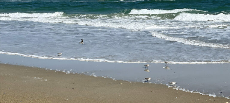
The Point is not just open sand. It includes dunes, beach, estuarine wetlands, salt flats, maritime shrub habitat, and inlet shoreline. Those features make it valuable for wildlife, coastal resilience, and public enjoyment.
The N.C. Coastal Land Trust has described the area as habitat for shorebirds, sea turtles, and rare coastal plants. The state’s announcement also emphasized that the preserve will support conservation, education, and responsible public access.
That combination is what makes the outcome so significant. The south end will not be locked away from the public, but it also will not be treated as disposable open space. The future of the preserve depends on people using it carefully.
Enjoy it responsibly
The preserve remains a place for walking, fishing, beachcombing, wildlife watching, and enjoying one of the most scenic parts of Topsail Island. Visitors should stay out of marked nesting areas, avoid dunes and vegetation, pack out trash and fishing line, and follow local beach rules, including leash requirements for dogs.
The win here is public access plus protection. Keeping both will require care from everyone who uses the area.
A Rare Positive Ending for a Coastal Development Fight
Coastal land fights often end with compromise, frustration, or permanent loss. This one ended differently.
The south end of Topsail Beach is still changing, as barrier islands always do. The inlet will move. Sand will shift. Storms will reshape the shoreline. But the larger future of the land is now clearer than it has been in decades.
The Point is being protected. Public access is being preserved. And one of Topsail Island’s most recognizable natural spaces will remain a place residents and visitors can experience, as long as they treat it with the respect it deserves.
Sources and Further Reading
- N.C. DEQ: State assumes management of Topsail Nature Preserve
- WECT: South End of Topsail Beach now to be managed by the state
- Conserve The Point: History of The Point
- N.C. Coastal Land Trust: The South End purchased
- Coastal Review: Final grant secured to buy The Point
- WilmingtonBiz: The Point transfers into state ownership
- Topsail Guide: Major setback for controversial development at The Point
Advertisement
Support local coverage: Topsail Guide is independently operated and supported by readers. If our stories and guides are useful, you can support the site here.
See something wrong? Report a correction or read our editorial standards.