
Tropical Storm Erin is gaining strength and heading westward through the tropical regions of the Atlantic Ocean.
The National Hurricane Center forecasts it will become the first hurricane of the 2025 season as soon as tomorrow, with a strong possibility of reaching Category 3 major hurricane status by late Saturday.
You can follow the official updates via the NHC Tropical Weather Outlook.
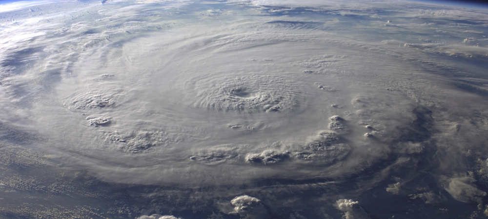
As of Thursday morning, Erin’s sustained winds were near 50 mph, and it was centered roughly 1,000 miles east of the northern Leeward Islands, moving west at approximately 17 mph. Erin is moving into warmer water and escaping Saharan dust, setting the stage for potential rapid intensification.
Sources report the storm is “steadily intensifying” in response to these favorable conditions. (Washington Post)
Officials throughout the northern Caribbean are already issuing warnings for heavy rain and dangerous surf. The Associated Press reports that “Officials in the northern Caribbean warned Thursday of heavy rains and dangerous swells as Tropical Storm Erin approached the region.” (AP News)
“Erin is moving into an area of the Atlantic primed for rapid intensification. The waters are incredibly warm,” said Alex DaSilva, lead hurricane expert for AccuWeather.
Meanwhile, the hurricane center cautions that there’s still “greater than normal uncertainty about what impacts Erin may bring to portions of the Bahamas, the east coast of the United States, and Bermuda in the long range.” (AP News)
“Hurricane specialist Michael Lowry said nearly all models have Erin turning ‘safely east of the broader U.S. next week.’”
Looking ahead to the weekend and beyond:
- Friday–Saturday: Erin is expected to become a hurricane and possibly intensify into a major hurricane. Topsail will remain outside the direct track, but surf and rip currents may begin to increase.
- Saturday–Sunday: The Leeward Islands, Puerto Rico, and the Virgin Islands may see tropical-storm-force winds, squalls, and dangerous surf as Erin passes just to their north. (Washington Post)
- Next week: Erin could pass near the Turks and Caicos and Bahamas before veering between Bermuda and the U.S. East Coast. A westward shift in the Bermuda High could nudge the forecast track closer to North Carolina, so it’s a scenario worth monitoring closely. (Washington Post)
For now, Topsail seems likely to avoid direct impact, but here’s how you can still be prepared for changes:
- Ensure Wireless Emergency Alerts are enabled on your phone, and check for notices from your local emergency management office or WECT’s First Alert Weather team.
- Review your evacuation zone and routes, especially if you’ll be staying through the weekend on Topsail Island.
- Keep an eye on beach conditions. Even offshore storms can create dangerous rip currents and surf.
- Have essential starter supplies on hand—medications, power banks, snacks—just in case watches or warnings come later.
Bottom line: Erin is intensifying quickly, but Topsail is not in harm’s way at this time. Stay tuned for each new advisory, and we’ll keep updating as the weekend unfolds: